
Kirama topographic map
Interactive map
Click on the map to display elevation.
About this map
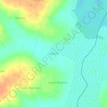
Name: Kirama topographic map, elevation, terrain.
Location: Kirama, Kaliro, Eastern Region, Uganda (0.96399 33.53850 1.00399 33.57850)
Average elevation: 1,053 m
Minimum elevation: 1,039 m
Maximum elevation: 1,077 m