
Terhole topographic map
Interactive map
Click on the map to display elevation.
About this map
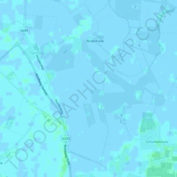
Name: Terhole topographic map, elevation, terrain.
Location: Terhole, Hulst, Seeland, Niederlande (51.29794 4.02308 51.32244 4.06958)
Average elevation: 0 m
Minimum elevation: -3 m
Maximum elevation: 4 m
Other topographic maps
Click on a map to view its topography, its elevation and its terrain.
Kloosterzande
Niederlande > Seeland > Hulst
Kloosterzande, Hulst, Seeland, Niederlande
Average elevation: 0 m
Nieuw Namen
Niederlande > Seeland > Hulst
Nieuw Namen, Hulst, Seeland, Niederlande
Average elevation: 1 m
Kapellebrug
Niederlande > Seeland > Hulst
Kapellebrug, Hulst, Seeland, Niederlande
Average elevation: 4 m
Walsoorden
Niederlande > Seeland > Hulst
Walsoorden, Hulst, Seeland, Niederlande
Average elevation: 0 m