
Alligator Lake topographic map
Interactive map
Click on the map to display elevation.
About this map
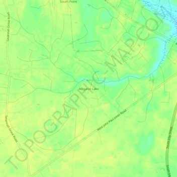
Name: Alligator Lake topographic map, elevation, terrain.
Location: Alligator Lake, Florence County, South Carolina, 29504, USA (34.10543 -79.82423 34.14543 -79.78423)
Average elevation: 38 m
Minimum elevation: 26 m
Maximum elevation: 43 m