
De Marne topographic map
Interactive map
Click on the map to display elevation.
About this map
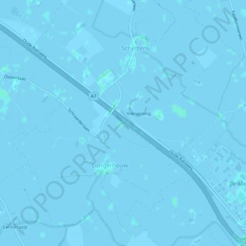
Name: De Marne topographic map, elevation, terrain.
Average elevation: -1 m
Minimum elevation: -3 m
Maximum elevation: 2 m
Other topographic maps
Click on a map to view its topography, its elevation and its terrain.
Súdwest-Fryslân
Nederland > Friesland > Súdwest-Fryslân
Súdwest-Fryslân, Friesland, Nederland
Average elevation: 0 m