Geolocate

Gamph topographic map

Click on the map to display elevation.

About this map
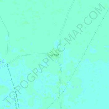
Name: Gamph topographic map, elevation, terrain.

Location: Gamph, Dholera Taluka, Ahmedabad, Gujarat, 382465, India (22.33793 72.14575 22.37793 72.18575)

Average elevation: 10 m

Minimum elevation: 7 m

Maximum elevation: 12 m

Other topographic maps

Click on a map to view its topography, its elevation and its terrain.
Dholera Taluka

India > Gujarat > Dholera Taluka

Average elevation: 8 m

Gear up for your next adventure:

🚲Cycling GPS Computers - Track elevation and topographic routes on two wheels
🥾Men's Waterproof Hiking Boots - Durable footwear with deep lugs for muddy and rocky UK terrains
🥤Collapsible Water Bottles - Save space in your rucksack as you consume your water
📕Outdoor Navigation Books - Learn traditional and modern navigation techniques
🧊Personal Water Filters - Drink safely from mountain streams marked on your map

As an Amazon Associate, this site earns from qualifying purchases at no extra cost to you.