
Gertrude topographic map
Interactive map
Click on the map to display elevation.
About this map
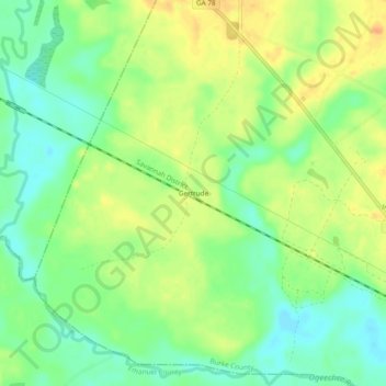
Name: Gertrude topographic map, elevation, terrain.
Location: Gertrude, Burke County, Georgia, USA (32.82488 -82.31651 32.86488 -82.27651)
Average elevation: 66 m
Minimum elevation: 48 m
Maximum elevation: 86 m