
La Grieta topographic map
Interactive map
Click on the map to display elevation.
About this map
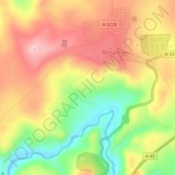
Name: La Grieta topographic map, elevation, terrain.
Location: La Grieta, Benamejí, Córdoba, Andalucía, España (37.25163 -4.55556 37.27163 -4.53556)
Average elevation: 400 m
Minimum elevation: 284 m
Maximum elevation: 495 m