Geolocate

District II topographic map

Click on the map to display elevation.

About this map

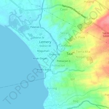
Name: District II topographic map, elevation, terrain.

Location: District II, Lemery, Batangas, Calabarzon, 4208, Philippines (13.85990 120.89754 13.89990 120.93754)

Average elevation: 25 m

Minimum elevation: 0 m

Maximum elevation: 102 m

Gear up for your next adventure:

GPS Outdoor Watches - Watches with GPS tracking for hiking and exploration
🎿Telescopic Trekking Poles - Reduces knee strain on steep topographic descents
🧰First Aid Kits - Essential safety kits for outdoor activities
🛌Sleeping Bags - Warm and packable sleeping bags for outdoor nights
📦Compression Sacks - Reduce backpack volume efficiently

As an Amazon Associate, this site earns from qualifying purchases at no extra cost to you.