
Munsiari topographic map
Interactive map
Click on the map to display elevation.
About this map
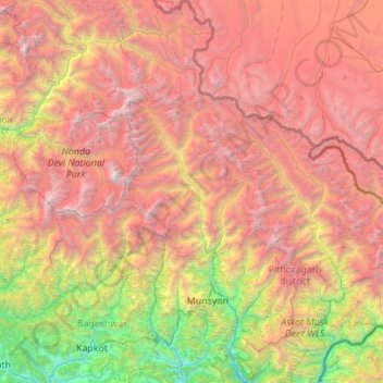
Name: Munsiari topographic map, elevation, terrain.
Location: Munsiari, Pithoragarh district, Uttarakhand, 262554, Indien (29.85985 79.95918 30.80902 80.49168)
Average elevation: 3,992 m
Minimum elevation: 896 m
Maximum elevation: 7,673 m