
Thank you for supporting this site ❤️
Make a donation
Make a donation
Gear up for your next adventure:
As an Amazon Associate, this site earns from qualifying purchases at no extra cost to you.
Burwash Landing topographic map
Click on the map to display elevation.
Thank you for supporting this site ❤️
Make a donation
Make a donation
Gear up for your next adventure:
As an Amazon Associate, this site earns from qualifying purchases at no extra cost to you.
About this map
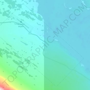
Name: Burwash Landing topographic map, elevation, terrain.
Location: Burwash Landing, Yukon, Y1A 3V4, Canada (61.31368 -139.09434 61.38878 -138.92522)
Average elevation: 828 m
Minimum elevation: 776 m
Maximum elevation: 1,416 m
Thank you for supporting this site ❤️
Make a donation
Make a donation
Gear up for your next adventure:
As an Amazon Associate, this site earns from qualifying purchases at no extra cost to you.