
Crystal Falls topographic map
Click on the map to display elevation.
About this map
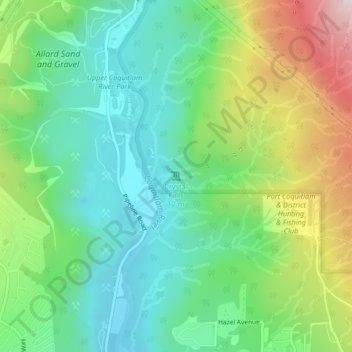
Name: Crystal Falls topographic map, elevation, terrain.
Average elevation: 221 m
Minimum elevation: 59 m
Maximum elevation: 550 m
Other topographic maps
Click on a map to view its topography, its elevation and its terrain.
Town Centre Park
Canada > British Columbia > Metro Vancouver Regional District > Coquitlam
Average elevation: 62 m
Blue Mountain Park
Canada > British Columbia > Metro Vancouver Regional District > Coquitlam
Average elevation: 119 m
Mundy Park
Canada > British Columbia > Metro Vancouver Regional District > Coquitlam
Average elevation: 139 m
Sheffield Park
Canada > British Columbia > Metro Vancouver Regional District > Coquitlam
Average elevation: 153 m
Burke Mountain Pioneer Park
Canada > British Columbia > Metro Vancouver Regional District > Coquitlam
Average elevation: 129 m