
Khuldabad fort topographic map
Interactive map
Click on the map to display elevation.
About this map
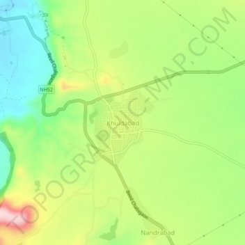
Name: Khuldabad fort topographic map, elevation, terrain.
Location: Khuldabad fort, Khuldabad, Aurangabad, Maharashtra, India (19.98612 75.17281 20.02612 75.21281)
Average elevation: 710 m
Minimum elevation: 599 m
Maximum elevation: 861 m