
Paintsville topographic map
Interactive map
Click on the map to display elevation.
About this map
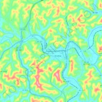
Name: Paintsville topographic map, elevation, terrain.
Location: Paintsville, Johnson County, Kentucky, 41240, United States (37.77454 -82.84711 37.85454 -82.76711)
Average elevation: 243 m
Minimum elevation: 175 m
Maximum elevation: 399 m