
Wama topographic map
Interactive map
Click on the map to display elevation.
About this map
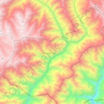
Name: Wama topographic map, elevation, terrain.
Location: Wama, Nuristan Province, Afghanistan (35.08897 70.65641 35.29411 70.94182)
Average elevation: 3,046 m
Minimum elevation: 1,311 m
Maximum elevation: 4,641 m