
Lufita topographic map
Interactive map
Click on the map to display elevation.
About this map
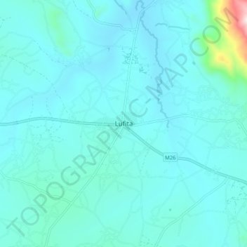
Name: Lufita topographic map, elevation, terrain.
Location: Lufita, Chitipa, Northern Region, Malawi (-9.75221 33.31502 -9.67221 33.39502)
Average elevation: 1,252 m
Minimum elevation: 1,189 m
Maximum elevation: 1,848 m