
Diani topographic map
Interactive map
Click on the map to display elevation.
About this map
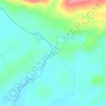
Name: Diani topographic map, elevation, terrain.
Location: Diani, Macenta Prefecture, Nzérékoré, Guinea (8.13752 -9.06589 8.14157 -9.06304)
Average elevation: 485 m
Minimum elevation: 448 m
Maximum elevation: 590 m