
The Links topographic map
Interactive map
Click on the map to display elevation.
About this map
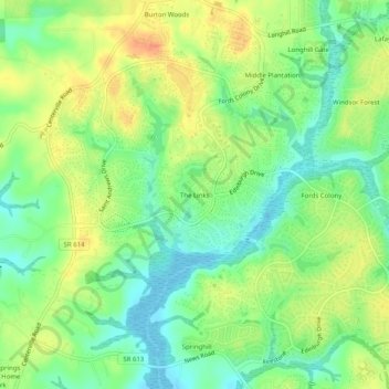
Name: The Links topographic map, elevation, terrain.
Location: The Links, James City County, Virginia, 23188, United States (37.27639 -76.80361 37.31639 -76.76361)
Average elevation: 21 m
Minimum elevation: 2 m
Maximum elevation: 42 m