
Fala topographic map
Interactive map
Click on the map to display elevation.
About this map
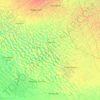
Name: Fala topographic map, elevation, terrain.
Location: Fala, Madou 2, Chad (12.98436 14.93133 13.62436 15.57133)
Average elevation: 290 m
Minimum elevation: 275 m
Maximum elevation: 310 m