
Kalkfeld topographic map
Interactive map
Click on the map to display elevation.
About this map
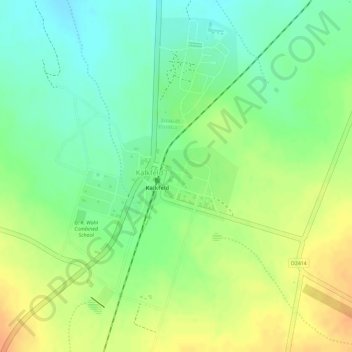
Name: Kalkfeld topographic map, elevation, terrain.
Location: Kalkfeld, Otjozondjupa, Namibia (-20.90240 16.18080 -20.87704 16.19719)
Average elevation: 1,522 m
Minimum elevation: 1,502 m
Maximum elevation: 1,542 m