
Murehe topographic map
Interactive map
Click on the map to display elevation.
About this map
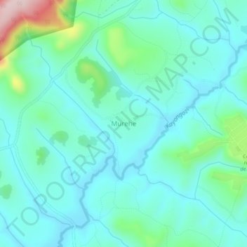
Name: Murehe topographic map, elevation, terrain.
Location: Murehe, Cankuzo, Burundi (-3.21747 30.38757 -3.17747 30.42757)
Average elevation: 1,534 m
Minimum elevation: 1,473 m
Maximum elevation: 1,789 m