
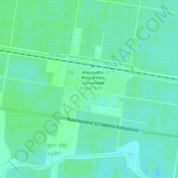
Cervantes topographic map
Interactive map
Click on the map to display elevation.
About this map
Name: Cervantes topographic map, elevation, terrain.
Location: Cervantes, Departamento General Roca, RN, Argentinien (-39.05913 -67.39992 -39.04931 -67.38614)
Average elevation: 221 m
Minimum elevation: 217 m
Maximum elevation: 224 m