
Tahua topographic map
Interactive map
Click on the map to display elevation.
About this map
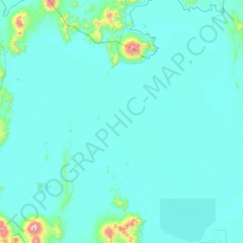
Name: Tahua topographic map, elevation, terrain.
Location: Tahua, Daniel Campos, Potosí, Bolivia (-20.71027 -68.20963 -19.61788 -67.54518)
Average elevation: 3,706 m
Minimum elevation: 3,640 m
Maximum elevation: 5,374 m
Other topographic maps
Click on a map to view its topography, its elevation and its terrain.