
Shume Nywelo topographic map
Interactive map
Click on the map to display elevation.
About this map
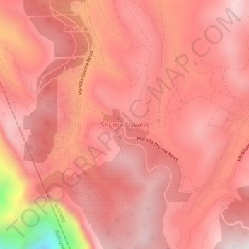
Name: Shume Nywelo topographic map, elevation, terrain.
Location: Shume Nywelo, Korogwe, Tanga, Northern Zone, Tanzania (-4.71252 38.19100 -4.67252 38.23100)
Average elevation: 1,907 m
Minimum elevation: 1,168 m
Maximum elevation: 2,126 m