
McLendon-Chisholm topographic map
Interactive map
Click on the map to display elevation.
About this map
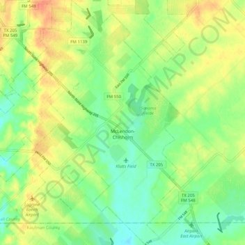
Name: McLendon-Chisholm topographic map, elevation, terrain.
Location: McLendon-Chisholm, Rockwall County, Texas, United States (32.80652 -96.44489 32.89010 -96.35679)
Average elevation: 162 m
Minimum elevation: 143 m
Maximum elevation: 184 m
Other topographic maps
Click on a map to view its topography, its elevation and its terrain.