
Hudsonville topographic map
Interactive map
Click on the map to display elevation.
About this map
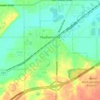
Name: Hudsonville topographic map, elevation, terrain.
Location: Hudsonville, Ottawa County, Michigan, 49426, United States (42.84218 -85.88136 42.88765 -85.84124)
Average elevation: 200 m
Minimum elevation: 182 m
Maximum elevation: 228 m
Other topographic maps
Click on a map to view its topography, its elevation and its terrain.