
Montijo topographic map
Interactive map
Click on the map to display elevation.
About this map
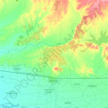
Name: Montijo topographic map, elevation, terrain.
Location: Montijo, Badajoz, Extremadura, 06480, Spain (38.86653 -6.64583 39.03724 -6.51779)
Average elevation: 212 m
Minimum elevation: 177 m
Maximum elevation: 285 m
Other topographic maps
Click on a map to view its topography, its elevation and its terrain.
Castillo de Piedrabuena
Spain > Extremadura > Tierra de Badajoz > San Vicente de Alcántara > Dehesa Piedrabuena
Average elevation: 364 m