
Banjar Sari topographic map
Interactive map
Click on the map to display elevation.
About this map
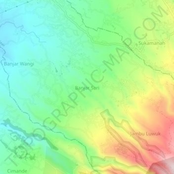
Name: Banjar Sari topographic map, elevation, terrain.
Location: Banjar Sari, Jabar, 16720, Indonesië (-6.72139 106.85853 -6.68139 106.89853)
Average elevation: 649 m
Minimum elevation: 496 m
Maximum elevation: 927 m