
Tole topographic map
Interactive map
Click on the map to display elevation.
About this map
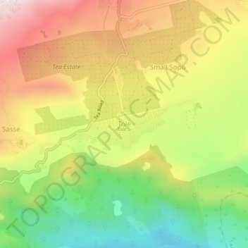
Name: Tole topographic map, elevation, terrain.
Location: Tole, Buea, Fako, Southwest, Cameroon (4.09490 9.22581 4.13490 9.26581)
Average elevation: 605 m
Minimum elevation: 291 m
Maximum elevation: 931 m