
Rassia topographic map
Interactive map
Click on the map to display elevation.
About this map
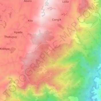
Name: Rassia topographic map, elevation, terrain.
Location: Rassia, Kidikpa, Djugu, Ituri, Democratic Republic of the Congo (1.92734 30.84913 1.99458 30.91832)
Average elevation: 1,713 m
Minimum elevation: 772 m
Maximum elevation: 2,366 m