
Hoschton topographic map
Interactive map
Click on the map to display elevation.
About this map
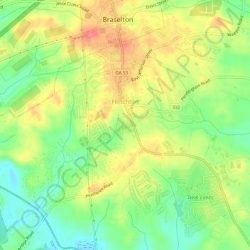
Name: Hoschton topographic map, elevation, terrain.
Location: Hoschton, Jackson County, Georgia, 30548, United States (34.06418 -83.79144 34.10715 -83.72426)
Average elevation: 256 m
Minimum elevation: 222 m
Maximum elevation: 301 m