
磨家镇 topographic map
Interactive map
Click on the map to display elevation.
About this map
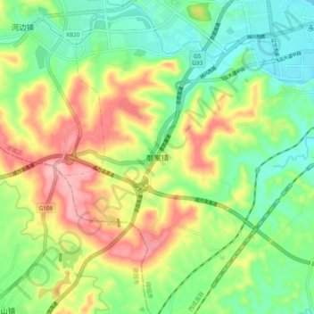
Name: 磨家镇 topographic map, elevation, terrain.
Location: 磨家镇, 绵阳市, 四川省, 中国 (31.38801 104.54727 31.46801 104.62727)
Average elevation: 538 m
Minimum elevation: 476 m
Maximum elevation: 631 m
Other topographic maps
Click on a map to view its topography, its elevation and its terrain.