
Knolton topographic map
Interactive map
Click on the map to display elevation.
About this map
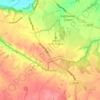
Name: Knolton topographic map, elevation, terrain.
Location: Knolton, Wrexham, Wales, SY12 9DT, United Kingdom (52.92702 -2.94609 52.96702 -2.90609)
Average elevation: 77 m
Minimum elevation: 22 m
Maximum elevation: 112 m