
ٹھٹہ / ٺٽو topographic map
Interactive map
Click on the map to display elevation.
About this map
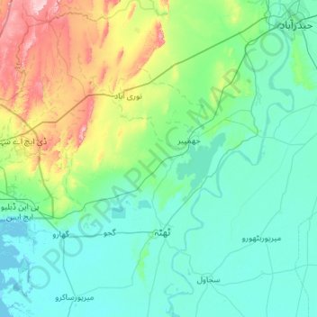
Name: ٹھٹہ / ٺٽو topographic map, elevation, terrain.
Location: ٹھٹہ / ٺٽو, Thatta District ٺٽو ضلعو, سنڌ, 73130, Pakistan (24.48252 67.48737 25.45090 68.31309)
Average elevation: 73 m
Minimum elevation: -1 m
Maximum elevation: 484 m