
Pasi Beurandeh topographic map
Interactive map
Click on the map to display elevation.
About this map
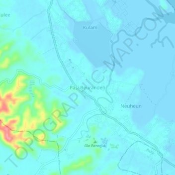
Name: Pasi Beurandeh topographic map, elevation, terrain.
Location: Pasi Beurandeh, Batee, Pidie, Aceh, Sumatra, Indonesia (5.39520 95.87095 5.43520 95.91095)
Average elevation: 12 m
Minimum elevation: -3 m
Maximum elevation: 101 m
Other topographic maps
Click on a map to view its topography, its elevation and its terrain.