
Rosamond topographic map
Interactive map
Click on the map to display elevation.
Rosamond
Rosamond is a census-designated place (CDP) in Kern County, California, USA, near the Los Angeles county line. Rosamond is 20 miles (32 km) north of Palmdale, in the Antelope Valley, the westernmost desert valley of the Mojave Desert. It is also 13 miles (21 km) south of Mojave, and 11 miles (18 km) north of Lancaster at an elevation of 2,342 feet (714 m). According to 2010 United States census data, the town population was 18,150.
About this map
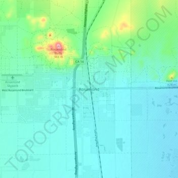
Name: Rosamond topographic map, elevation, terrain.
Average elevation: 733 m
Minimum elevation: 693 m
Maximum elevation: 935 m