
Kainji Lake topographic map
Interactive map
Click on the map to display elevation.
About this map
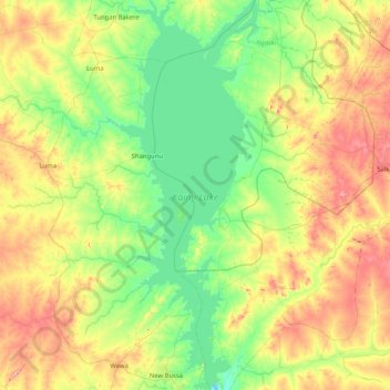
Name: Kainji Lake topographic map, elevation, terrain.
Location: Kainji Lake, Gafara, Ngaski, Kebbi, Nigéria (9.85241 4.37326 10.66397 4.70528)
Average elevation: 201 m
Minimum elevation: 113 m
Maximum elevation: 386 m