
Worburn green topographic map
Interactive map
Click on the map to display elevation.
About this map
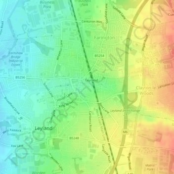
Name: Worburn green topographic map, elevation, terrain.
Average elevation: 47 m
Minimum elevation: 25 m
Maximum elevation: 72 m
Other topographic maps
Click on a map to view its topography, its elevation and its terrain.
Much Hoole
United Kingdom > England > South Ribble > Much Hoole
Much Hoole, South Ribble, Lancashire, North West England, England, PR4 4HH, United Kingdom
Average elevation: 12 m