
Val Verde topographic map
Interactive map
Click on the map to display elevation.
About this map
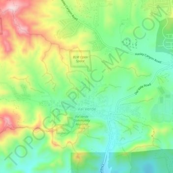
Name: Val Verde topographic map, elevation, terrain.
Location: Val Verde, Los Angeles County, California, United States (34.43811 -118.68264 34.45297 -118.64844)
Average elevation: 417 m
Minimum elevation: 319 m
Maximum elevation: 549 m