
Erts topographic map
Interactive map
Click on the map to display elevation.
About this map
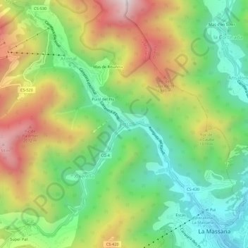
Name: Erts topographic map, elevation, terrain.
Location: Erts, La Massana, AD400, Andorre (42.54149 1.47659 42.58149 1.51659)
Average elevation: 1,611 m
Minimum elevation: 1,212 m
Maximum elevation: 2,204 m