
Kampen topographic map
Interactive map
Click on the map to display elevation.
About this map
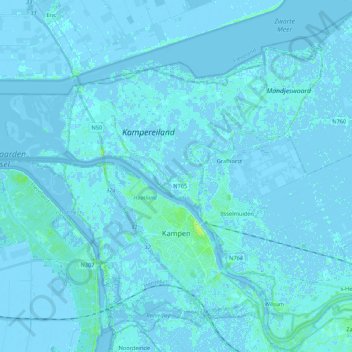
Name: Kampen topographic map, elevation, terrain.
Location: Kampen, Overijssel, Netherlands (52.52561 5.77775 52.62830 5.99228)
Average elevation: 0 m
Minimum elevation: -5 m
Maximum elevation: 11 m
Other topographic maps
Click on a map to view its topography, its elevation and its terrain.