
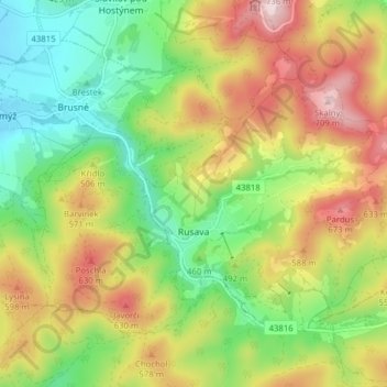
Rusava topographic map
Interactive map
Click on the map to display elevation.
About this map
Name: Rusava topographic map, elevation, terrain.
Average elevation: 482 m
Minimum elevation: 301 m
Maximum elevation: 722 m
Rusava is located in the Hostýn Hills. The highest point of the municipality is top of the Skalný mountain with an elevation of 709 metres (2,326 ft).