
Zemst topographic map
Interactive map
Click on the map to display elevation.
About this map
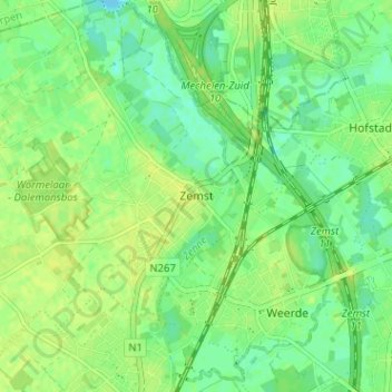
Name: Zemst topographic map, elevation, terrain.
Location: Zemst, Hal-Vilvorde, Brabant flamand, Flandre, 1980, Belgique (50.96422 4.44508 51.00422 4.48508)
Average elevation: 9 m
Minimum elevation: -1 m
Maximum elevation: 14 m