
El Ghrous topographic map
Interactive map
Click on the map to display elevation.
About this map
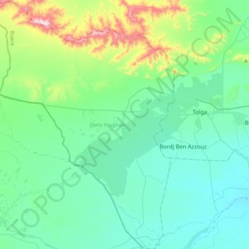
Name: El Ghrous topographic map, elevation, terrain.
Location: El Ghrous, Foughala District, Biskra, 07027, Algeria (34.58545 5.11447 34.85142 5.34478)
Average elevation: 210 m
Minimum elevation: 89 m
Maximum elevation: 733 m