
Sutherland topographic map
Interactive map
Click on the map to display elevation.
About this map
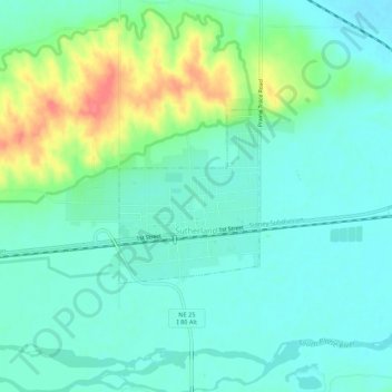
Name: Sutherland topographic map, elevation, terrain.
Location: Sutherland, Lincoln County, Nebraska, United States (41.15163 -101.13679 41.16961 -101.08300)
Average elevation: 910 m
Minimum elevation: 892 m
Maximum elevation: 958 m