
Fót topographic map
Interactive map
Click on the map to display elevation.
About this map
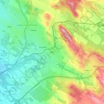
Name: Fót topographic map, elevation, terrain.
Location: Fót, Dunakeszi járás, Pest, Central Hungary, 2151, Hungary (47.57259 19.15801 47.65259 19.23801)
Average elevation: 174 m
Minimum elevation: 108 m
Maximum elevation: 284 m