
Löwygrube topographic map
Interactive map
Click on the map to display elevation.
About this map
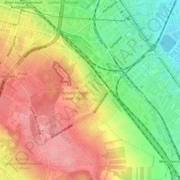
Name: Löwygrube topographic map, elevation, terrain.
Location: Löwygrube, KG Oberlaa Stadt, Favoriten, Vienna, 1100, Austria (48.16137 16.40235 48.16673 16.41002)
Average elevation: 208 m
Minimum elevation: 155 m
Maximum elevation: 253 m
Other topographic maps
Click on a map to view its topography, its elevation and its terrain.