
Baltar topographic map
Interactive map
Click on the map to display elevation.
About this map
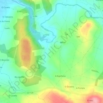
Name: Baltar topographic map, elevation, terrain.
Location: Baltar, A Pastoriza, Terra Chá, Lugo, Galice, Espagne (43.22906 -7.37987 43.25905 -7.33587)
Average elevation: 462 m
Minimum elevation: 419 m
Maximum elevation: 541 m