
Cruces topographic map
Interactive map
Click on the map to display elevation.
About this map
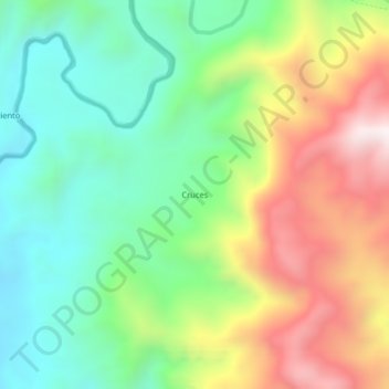
Name: Cruces topographic map, elevation, terrain.
Location: Cruces, Urrao, Suroeste, Antioquia, Colombia (6.45183 -76.31401 6.49183 -76.27401)
Average elevation: 1,265 m
Minimum elevation: 913 m
Maximum elevation: 1,823 m