
Bastrop topographic map
Interactive map
Click on the map to display elevation.
About this map
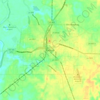
Name: Bastrop topographic map, elevation, terrain.
Location: Bastrop, Morehouse Parish, Louisiana, 71220, United States (32.73614 -91.94830 32.81614 -91.86830)
Average elevation: 38 m
Minimum elevation: 19 m
Maximum elevation: 64 m