
Buffalo Gap topographic map
Interactive map
Click on the map to display elevation.
About this map
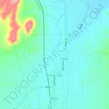
Name: Buffalo Gap topographic map, elevation, terrain.
Location: Buffalo Gap, Taylor County, Texas, 79608, United States (32.26740 -99.84787 32.30581 -99.82425)
Average elevation: 597 m
Minimum elevation: 568 m
Maximum elevation: 721 m